El Paso, TX...Las Cruces, NM...Roswell, NM...Alamogordo, NM...Socorro, TX...
ZCZC SPCFWDDY1 ALL
FNUS21 KWNS 281648
Day 1 Fire Weather Outlook
NWS Storm Prediction Center Norman OK
1148 AM CDT Mon Apr 28 2025
Valid 281700Z - 291200Z
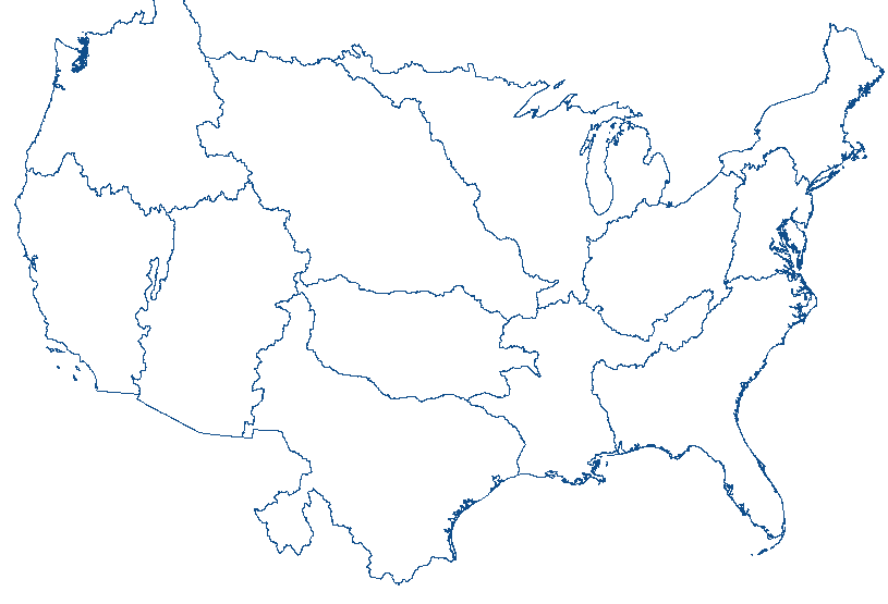
...CRITICAL FIRE WEATHER AREA FOR SOUTHERN NEW MEXICO INTO THE FAR
WESTERN TRANS-PECOS...
...Lower Peninsula of Michigan...
Current surface observations and short term model guidance suggests
at least a brief period of elevated fire weather conditions across
the Lower Peninsula of Michigan this afternoon. Substantial
advection of low-level upstream moisture below 850 mb is not
expected until this evening as a warm front moves in from the
southwest. Relative humidity could fall to 20-25 percent range in
some areas with south winds of 15-20 mph this afternoon, so Elevated
highlights were added to the Lower Peninsula of Michigan.
...Southwest and portions of Southern High Plains...
Forecast remains on track with breezy southwest winds, low relative
humidity and dry fuels resulting in elevated to critical fire
weather conditions expected through today. An intensifying surface
lee trough across the Northern Plains will maintain breezy winds
across the High Plains of Colorado. Elevated highlights were
extended into far southeastern Colorado where minimal precipitation
has fallen amid dry fuels, enhanced winds and relative humidity
falling into the single digits are expected this afternoon.
..Williams.. 04/28/2025
.PREV DISCUSSION... /ISSUED 0159 AM CDT Mon Apr 28 2025/
...Synopsis...
Downstream of an amplified large-scale trough over the West, a belt
of strong deep-layer southwesterly flow will overspread the southern
Rockies and adjacent High Plains. In the low-levels, a related lee
trough will deepen over the southern High Plains.
...Southern New Mexico into the far western Trans-Pecos...
West of the lee trough, downslope flow amid a dry antecedent air
mass will promote deep boundary-layer mixing into the belt of
enhanced southwesterly flow aloft. At the same time, the pressure
gradient will tighten along the periphery of the deepening lee
trough during the afternoon. This will result in a corridor of 10-15
percent RH across much of the southern Rockies and adjacent High
Plains. These dry boundary-layer conditions, coupled with 20 mph
sustained southwesterly surface winds (with higher gusts), will
promote critical fire-weather conditions atop dry fuels over
southern New Mexico into the far western Trans-Pecos -- with
elevated conditions expected northward into southeast Colorado.
...Please see www.spc.noaa.gov/fire for graphic product...
CLICK FOR DAY 1 FIREWX AREAL OUTLINE PRODUCT (KWNSPFWFD1)


 @NWSSPC


